
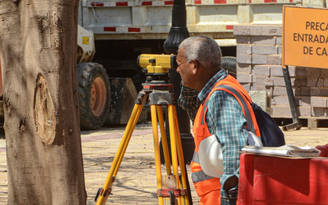
What is surveying?
A surveyor measures positions, coordinates, boundaries, levels, and features on land or in structures using instruments suited to the project. The work goes beyond measuring distances — it produces the site data that decisions are built on. Importantly, a surveyor does not determine ownership or legal rights; surveys supply technical data, while ownership and approvals depend on documents and the competent authorities.
Types of survey services
- Topographic (detail) surveys: the most requested, collecting site data and organising it into design and construction outputs
- Boundary determination: field measurements checked against available references, important for neighbouring plots or when records don't match the ground
- Land dimensions and areas: measuring sides, area, and shape, often revealing differences from what looks regular by eye
- Property record updates: some deed updates require survey work
- Construction surveying: setting out axes and points and transferring drawings onto the site
Tools and technology
- Total Station: for measuring angles and distances and locating points
- GPS/GNSS receivers: for accurate coordinates tied to geographic references
- GIS and spatial-data software for analysis and reporting
- Laser scanning, aerial, and drone surveys for large data volumes and 3D imaging
Equipment alone isn't enough; what matters most is the surveyor's ability to plan the work, use the tools accurately, verify the data, and present the results clearly.
When you need a surveyor
- Before buying or selling land, when accurate dimensions and site conditions matter
- Before design, permitting, or construction, so the design rests on real site data
- When the land doesn't match the documents or boundaries seem unclear
Expected deliverables
Survey plans or drawings, coordinates and levels, digital files, and a written report documenting the work, data, and its processing. It's best to confirm the deliverables before work begins — whether you need a plan, coordinates, a report, or a digital file, and whether the output suits the engineer or authority who will use it.